Topografía precisa y de confianza.
Expertos en mediciones y coordinación catastral en Comunidad Valenciana, Aragón y Castilla-León.
Excelente servicio y precisión
★★★★★
Tu solución topográfica
Con más de 24 años de experiencia, TOPOWI ofrece soluciones precisas en topografía, garantizando coordinaciones efectivas entre Catastro y el Registro de la Propiedad.
Equipo Profesional Especializado
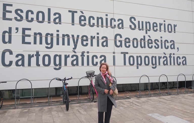
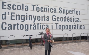
Dirigidos por Dª. Mª José Villoslada del Valle, Graduada en Ingeniería Geomática y Topografía e Ingeniera Técnica en Topografía, colegiada en el Ilustre Colegio Profesional de Graduados en Ingeniería Geomática y Topografía.
Trabajamos con las últimas tecnologías.
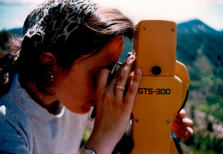
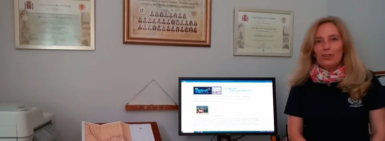
Imagen propiedad de Mª José Villoslada del Valle.
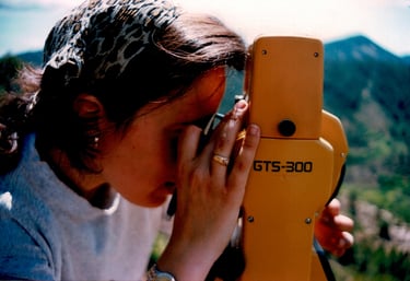
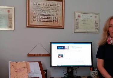
Imagen propiedad de Mª José Villoslada del Valle.
Servicios de Topografía en Olocau y resto de España.
Ofrecemos mediciones exactas y coordinación entre Catastro, Registro de la Propiedad y Notarias.
Mediciones Exactas
Detección y corrección de errores catastrales con tecnología avanzada.
Asesoría Personalizada
Consultoría técnica especializada en topografía para proyectos de todo tipo.
Nuestro trabajo no acaba hasta que no finaliza el expediente.
Coordinación Eficiente
Intercambio de información optimizado entre los distintos organismos relevantes.
¿NECESITA UN PROFESIONAL ESPECIALIZADO EN LA GEORREFERENCIACIÓN Y DELIMITACIÓN DE LA PROPIEDAD INMOBILIARIA EN ESPAÑA?
no busque más,
nosotros nos encargamos de ASESORARLE, MEDIR Y GESTIONAR, para qué NO SE PREOCUPE DE NADA, solo tendrá que acudir a una primera reunión donde visitaremos el terreno objeto de estudio y luego nosotros nos encargamos del resto, teniéndole informado en cada momento de todas las gestiones realizadas.
SOMOS PROFESIONALES ESPECIALIZADOS EN TRABAJOS CATASTRALES, DESLINDES PARCELARIOS, PROPIEDAD INMOBILIARIA Y PERITACIONES JUDICIALES, también realizamos diferentes gestiones, tanto en Catastro, Notaria y Registro de la Propiedad.
Todos nuestros trabajos están Visados y llevan una Revisión Documental, con sistema de gestión de calidad bajo Norma ISO 9001:2015 por el Ilustre Colegio de Graduados en Ingeniería Geomática y Topografía.
Experiencia Comprobada
Más de 24 años en el sector de la topografía.


Topowi me ayudó a corregir errores en el Catastro. Su precisión y profesionalidad son excepcionales. ¡Recomiendo sus servicios sin dudarlo!
Juan Pérez


★★★★★